| Diary of a Ranch Trip -- 07/03/2007 through 07/08/2007 |

|
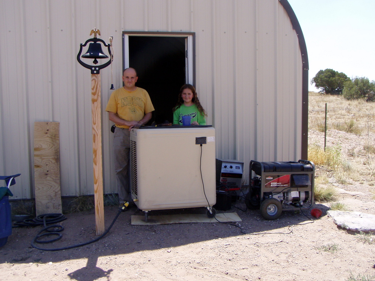
After I
worked half a day on 07/03/2007, we took off for the ranch! Here is a
picture of our latest ranch gizmo (which added much to the wieght of
the trailer), the swamp cooler. This baby keeps the cabin a good ten
degrees cooler than outside, plus it provides a strong breeze.
Unfortunately, we have to run the generator (seen to the side) in order
to yse the swamper, and the generator is loud!
|

|
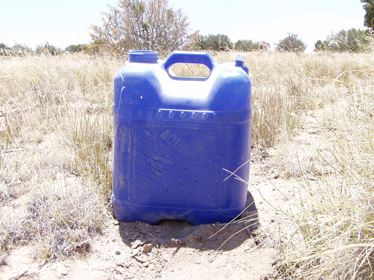
Yup, you
guessed it -- this is a blue water jug! I had this sitting around, and
I decided to let the kids use it as an archery target, thinking that
the kiddy arrows (dull as they are) would not puncture it. WRONG!
Still, that's OK, since I then filled it with sand and shot at it. Sand
it very dense, and it can stop a 30-06 bullet. If you look closely, you
will see several bullet holes in this. I used my 30-06 and took three
shots at 100 yerds, three at about 50 yards, and another two at about
10 yards. Of those eight shots, seven hit the jug.
|
|
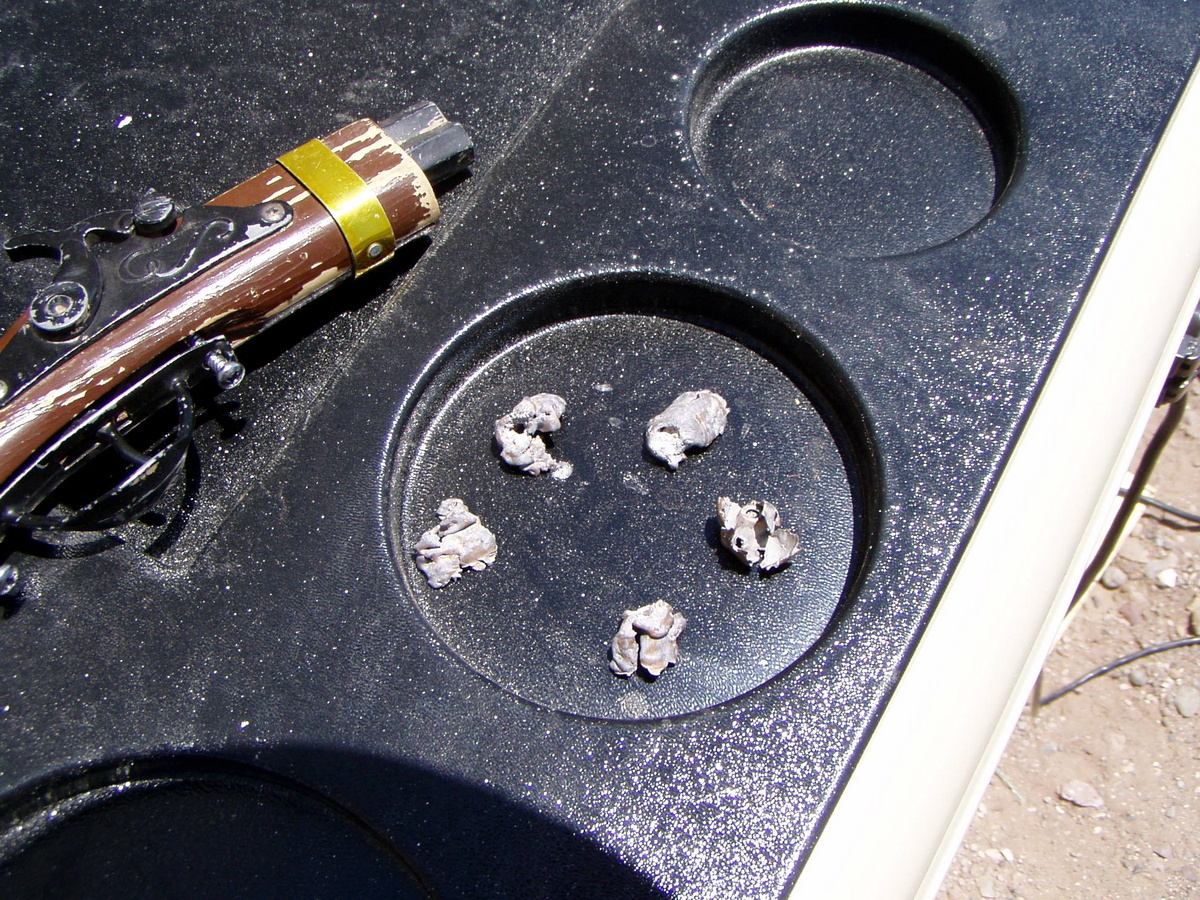
After taking
the shots described above, I emptied out the sand, to retrieve the
bullets. Here they are. As you can see, the bullets have expanded
nicely. These bullets would do a lot of damage!
|
|
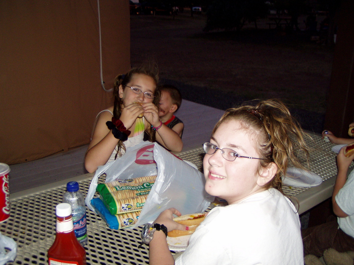
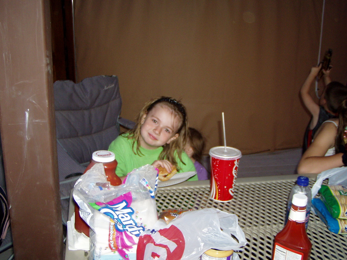
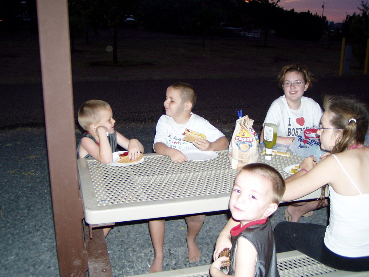
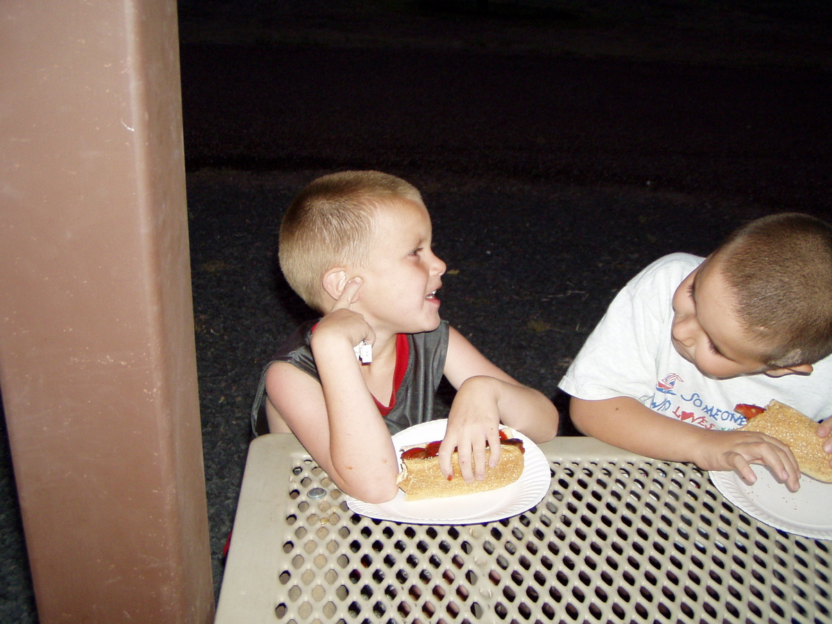
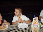
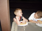
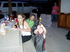
On the fourth
of July, we drove over to Lyman Lake to meet the Namkungs (our
neighbors). They had rented a Yurt there, and so had a good spot to
watch the fireworks. Before the big show, we grilled up some dogs. This
and the next four pictures are of the kids eating at Lyman Lake, before
the big fireworks show (which was a bit disappointing this year).
|

|
|
|
|
|
|
|
|
|
|
|
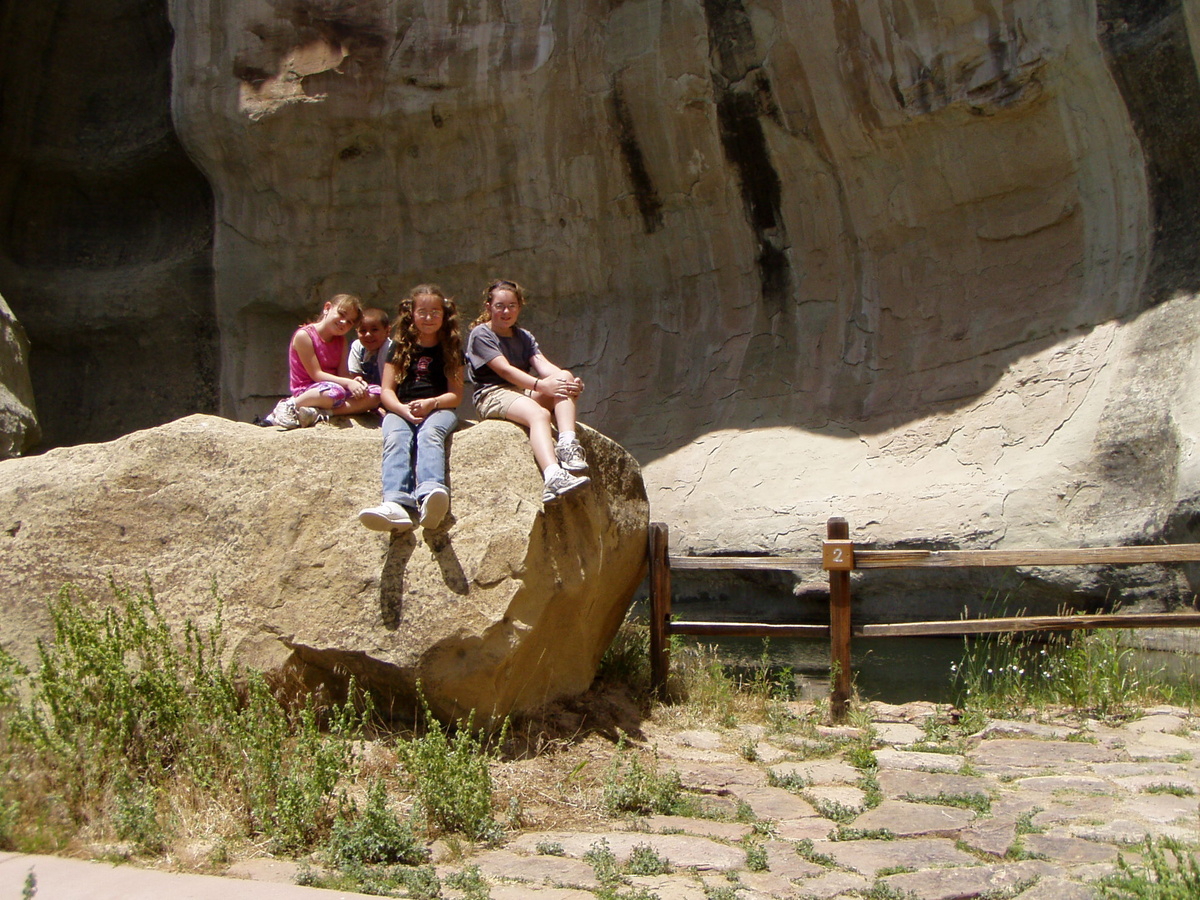
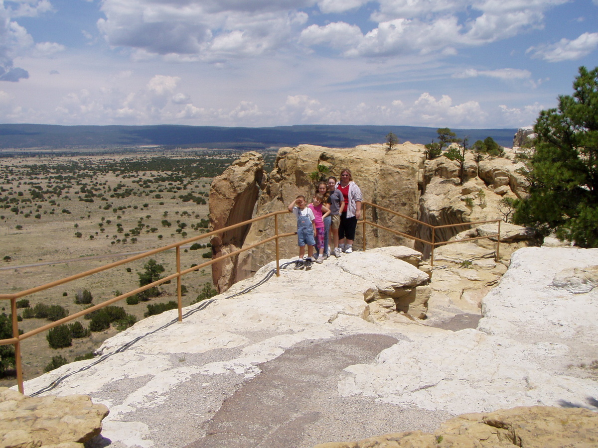
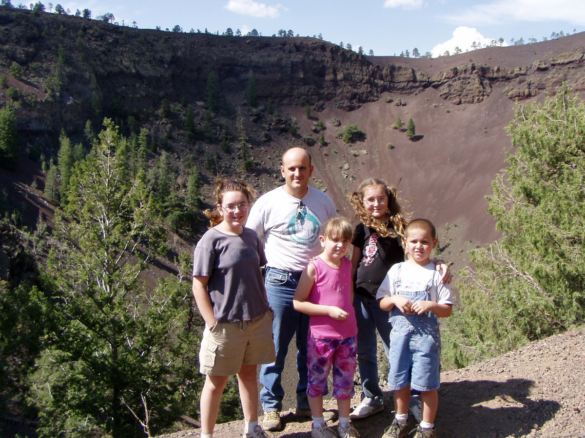
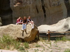
On 07/05/2007
we took a trip into New Mexico to see the sights. From our place, we
headed north to Az Hwy 61, which we took east to the New Mexico state
line (where Az Hwy 61 turns into NM Hwy 53). After we passed through
cool towns like Zuni and Ramah, we got to El Morro, our first stop. El
Morro is a national monument dedicated to graffitti. At El Morro, there
is a reliable water source, and for at least the past 700 years, people
that came for the water, also carved things on the sandstone that
surrounds the water. The oldest carvings are the petroglyphs, but there
are many very old spanish carvings here as well. The english carvings
are much more recent (they only go back into the 1800s). Here are our
kids, sitting by the water hole that brought all of the sandstone
vandels to El Morro over the years.
|
|
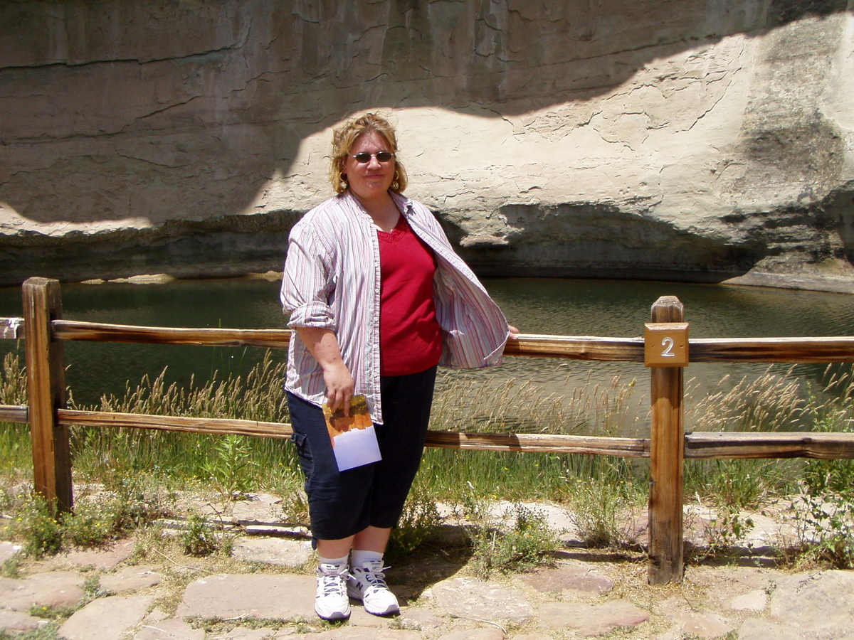
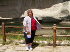
Here is my lovely wife, also by the famous water hole.
|
|
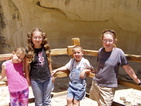
Our kids,
next to stop number seven on the inscription walk. If you look really
closely, you may see a few inscriptions behind them. One is translated:
On the 25th of the month of June, of this year of 1709, passed by here
on the way to Zuni, -- Ramon Garcia Jurado.
|

|
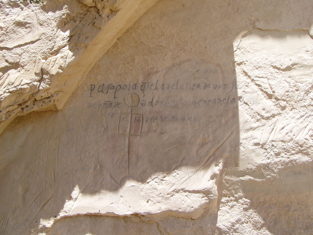
This is a
picture of the oldest inscription (besides the petroglyphs) at El
Morro. It is translated: Passed by here the Govenor Don Juan de Onate,
from the discovery of the Dea of the South on the 16th of April, 1605.
The "Sea of the South" is the Gulf of California. Note that this
inscription was made FIFTEEN YEARS BEFORE THE PILGRIMS LANDED AT
PLYMOUTH ROCK!!!
|

|
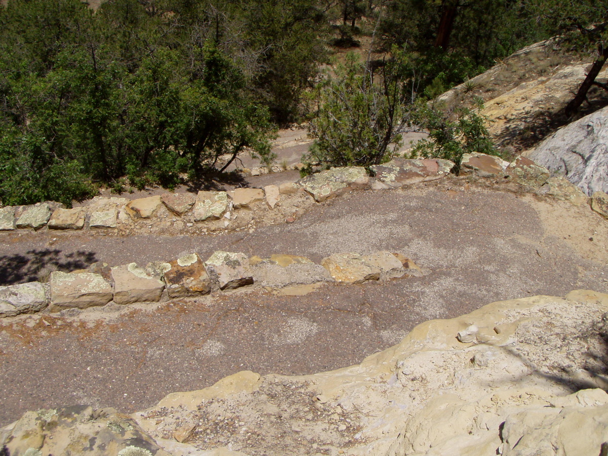
After we were
done looking at the inscriptions, we followed the trail up on top of
the mesa. This was a long, hard climb, especially for Nettie. Not only
is El Morro at 7200 feet (meaning the air is thinner), but the trail is
steep. This picture shows some of the switchbacks that we had to climb
to get to the top.
|
|
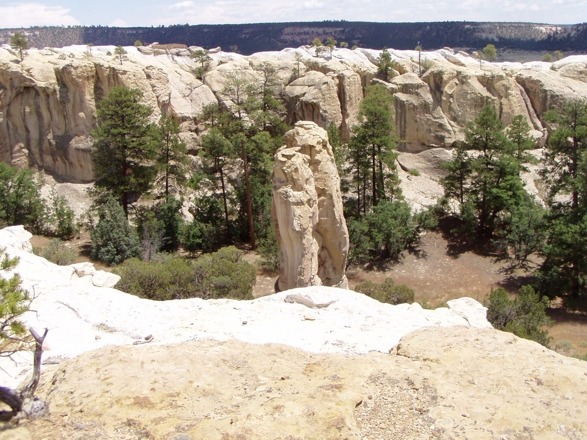
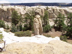
This is a
picture of the "box canyon" that the mesa surrounds. I liked the
sandstone column in the middle, so I had to take a picture of it.
|

|
A view from the top of the mesa. See the road down there? That road is at the same elevation as the start of our trail!
|
|
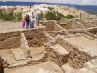
On top of the mesa, are these very old indian ruins.
|
|
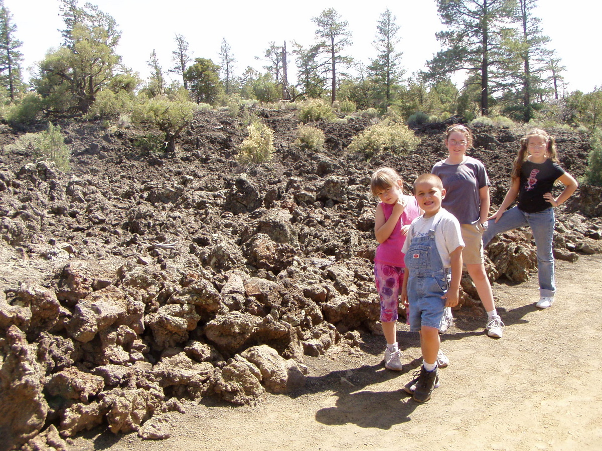
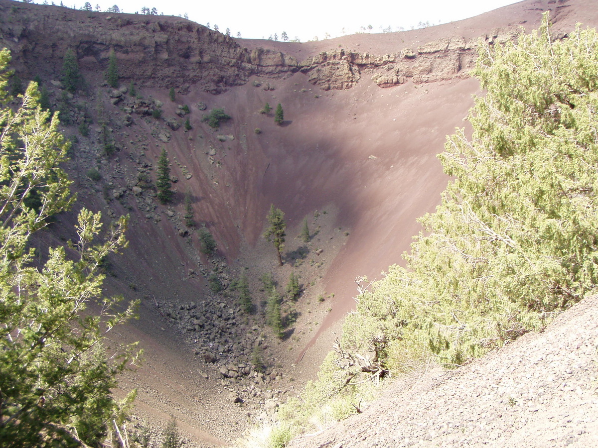
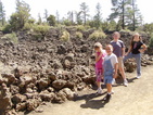
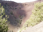
After we left
El Morro, we travelled on down the road a little ways to the Bandera
Volcano and Ice Cave. The Bandera Volcano is now dormant, of course,
but it left this very impressive lava flow behind. The rocks in the
background are all lava.
|
|
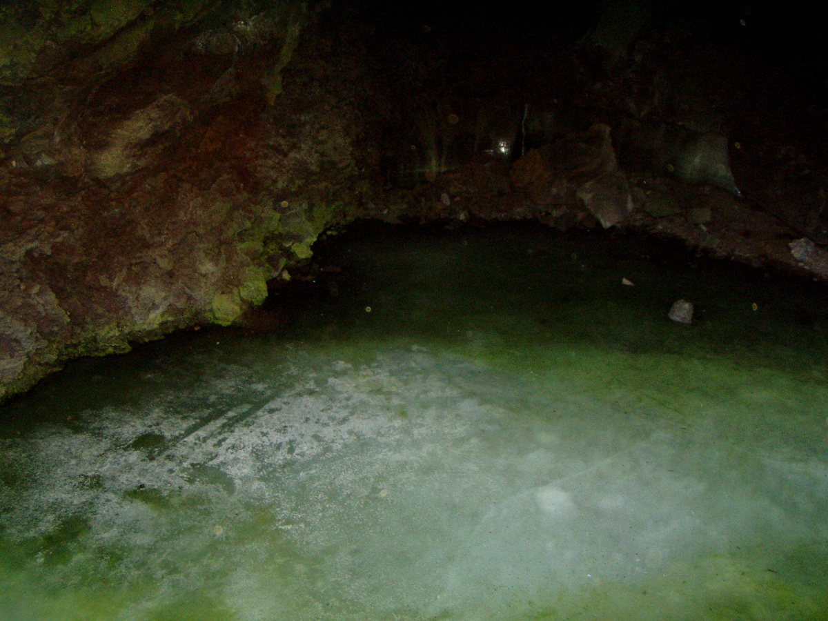
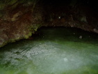
Deep under
the lava flows is this ice cave. The temperature in this cave never
gets above 31 degrees. All water that falls into this cave, therefore,
freezes. This is a picture of the ice pond.
|
|
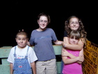
Here are the kids standing in the ice cave (but you can't see the ice in this photo).
|

|
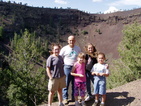
After
climbing down and then up a bunch of stairs to get into and out of the
ice cave, you can then hike up and into the cone of the Bandera
Volcano. Here we are standing inside of the code of a volcano (neat,
huh?).
|
|
This is an extra shot of us inside the volcano, just for good measure.
|
|
Here is a picture of the cone, without us in the way.
|
|
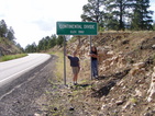
This is the
continental divide. Every rain drop that falls to the east of this sign
will eventually end up in the Atlantic Ocean. Every rain drop that
falls to the west of this sign will eventually end up in the
Pacific Ocean.
This is also where our camera filled up (meaning no more pictures), so
I'll have to tell the rest of the story here. After this picture was
taken, we turned off onto the "Chain of Craters Backcountry Byway".
This is a 33 mile long dirt road that takes you past many cinder cones
from dormant volcanos. It really is a very pretty drive - I enjoyed it
a bunch. The dirt road comes out on NM Hwy 117, which we took to NM Hwy
36. We took Hwy 36 only to a little town called "Fence Lake", where we
left 36, and pavement. NM 601 is a gravel road that heads off south
towards Salt Lake. The reason we took it is that it also goes to the
gravel road that is the NM version of Apache County 6040 (which is the
county road that is part of what we call the "back way" to our place).
While driving along that road, right before we crossed back into
Arizona, I saw two badgers (too bad nobody else did), and we all saw
about seven antelope. We didn't get back to our place until around
630pm or so (we had left about 9am), which made for a long day. A good
day, a fun day, but a long day.
|
|
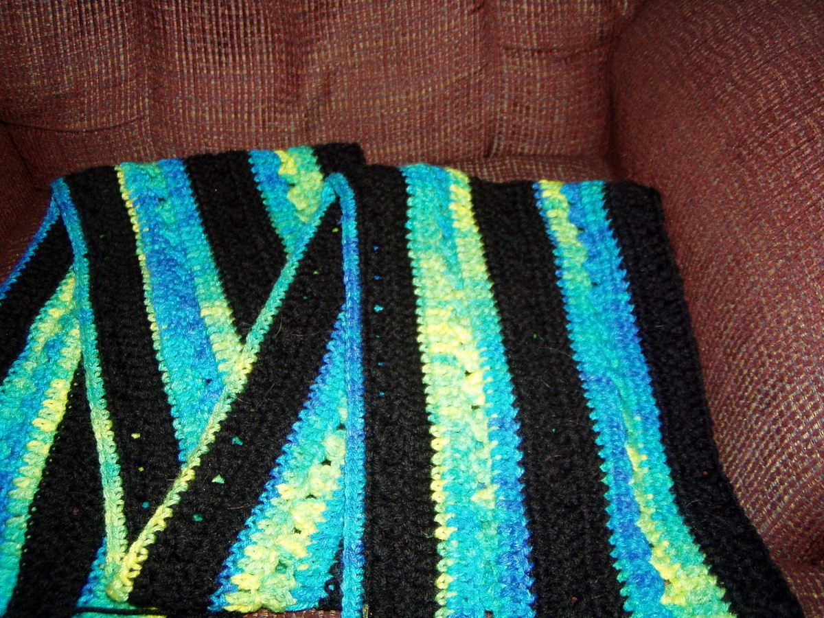
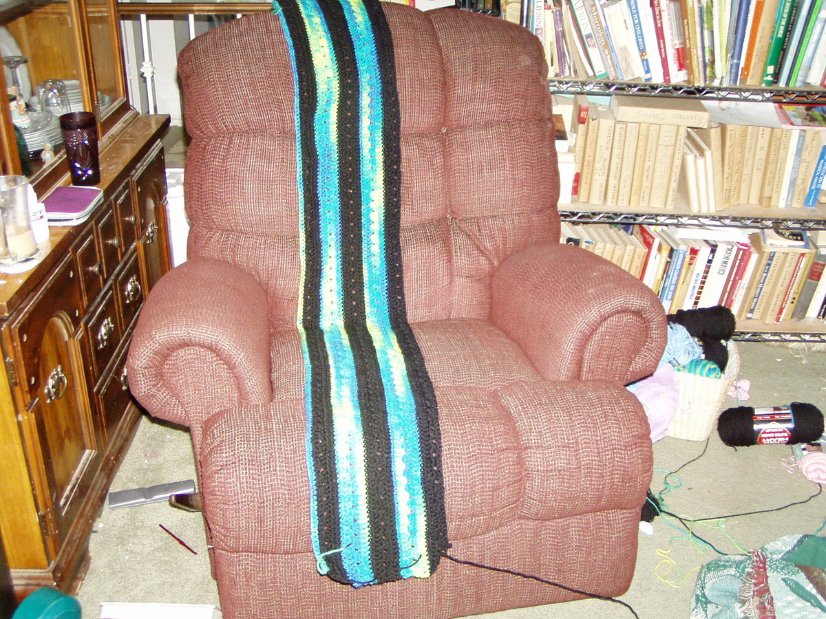
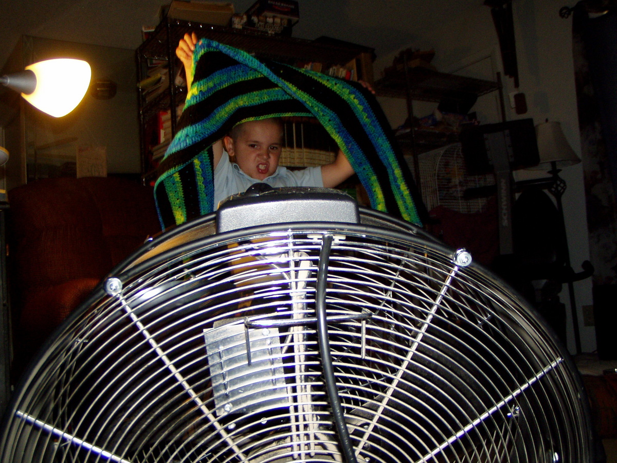
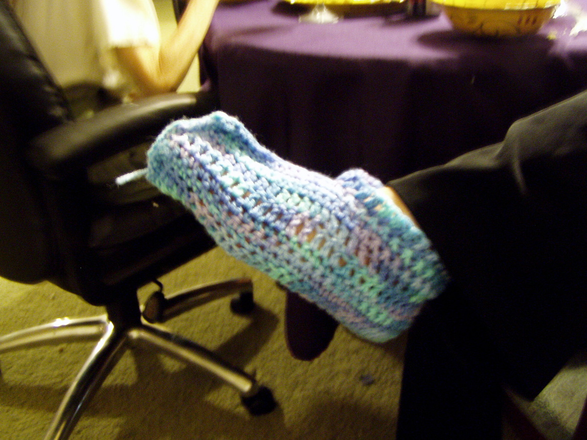
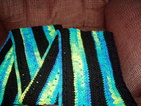
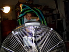
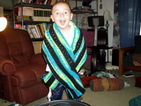
I am going to let Ne--ie explain these next photos, as they are incomprehensible to me...
"These 6 photos were relating to a post on www.xanga.com/nettieheidmann
wherein I was describing the blanket I was crocheting for Jacob."
|
|
"Trying to accurately photograph the colors."
|

|
"Observing the length."
|
|
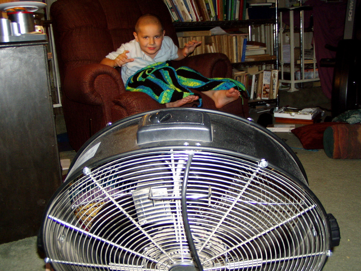
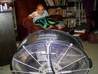
"Here I had
to explain to my readers how it was possible for me to crochet anything
in the midst of the summer heat. Jacob is shown sitting in my
Favorite crochet spot, being blown by the gale-force winds of our
industrial-size fan."
|
|
|
|
|
|
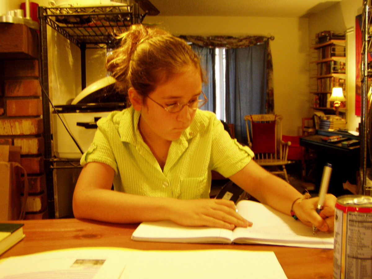
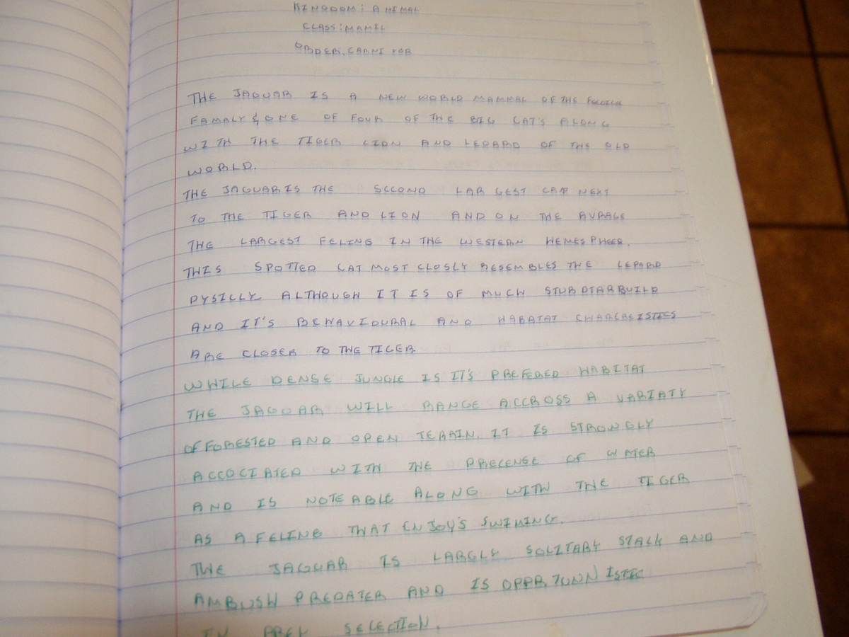
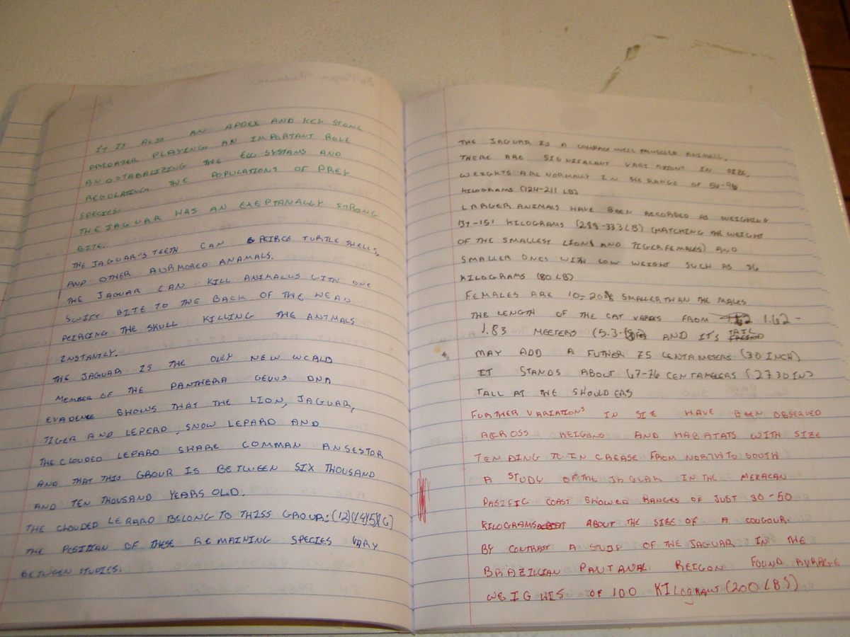
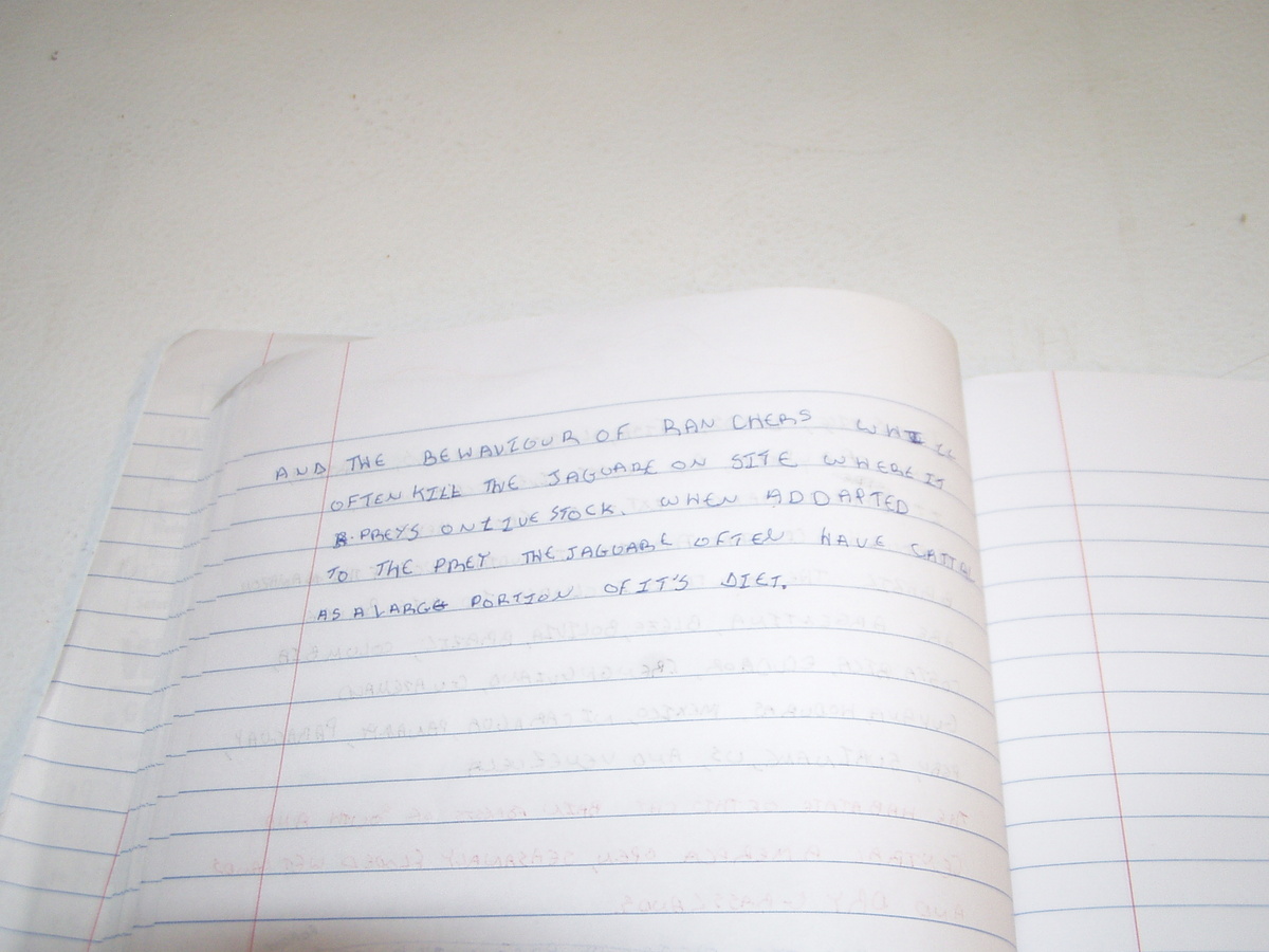
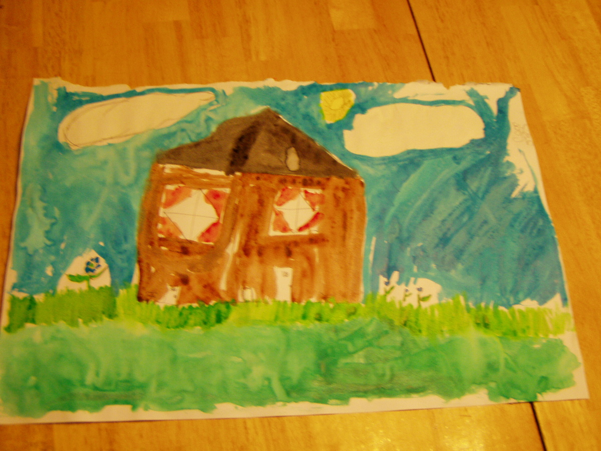
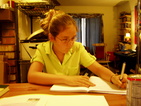
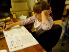
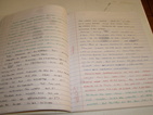
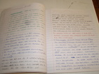
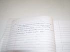
"Here are some school photos - Megan working on her Jaguar report (seen below in its entirety for your admiration)."
|

|
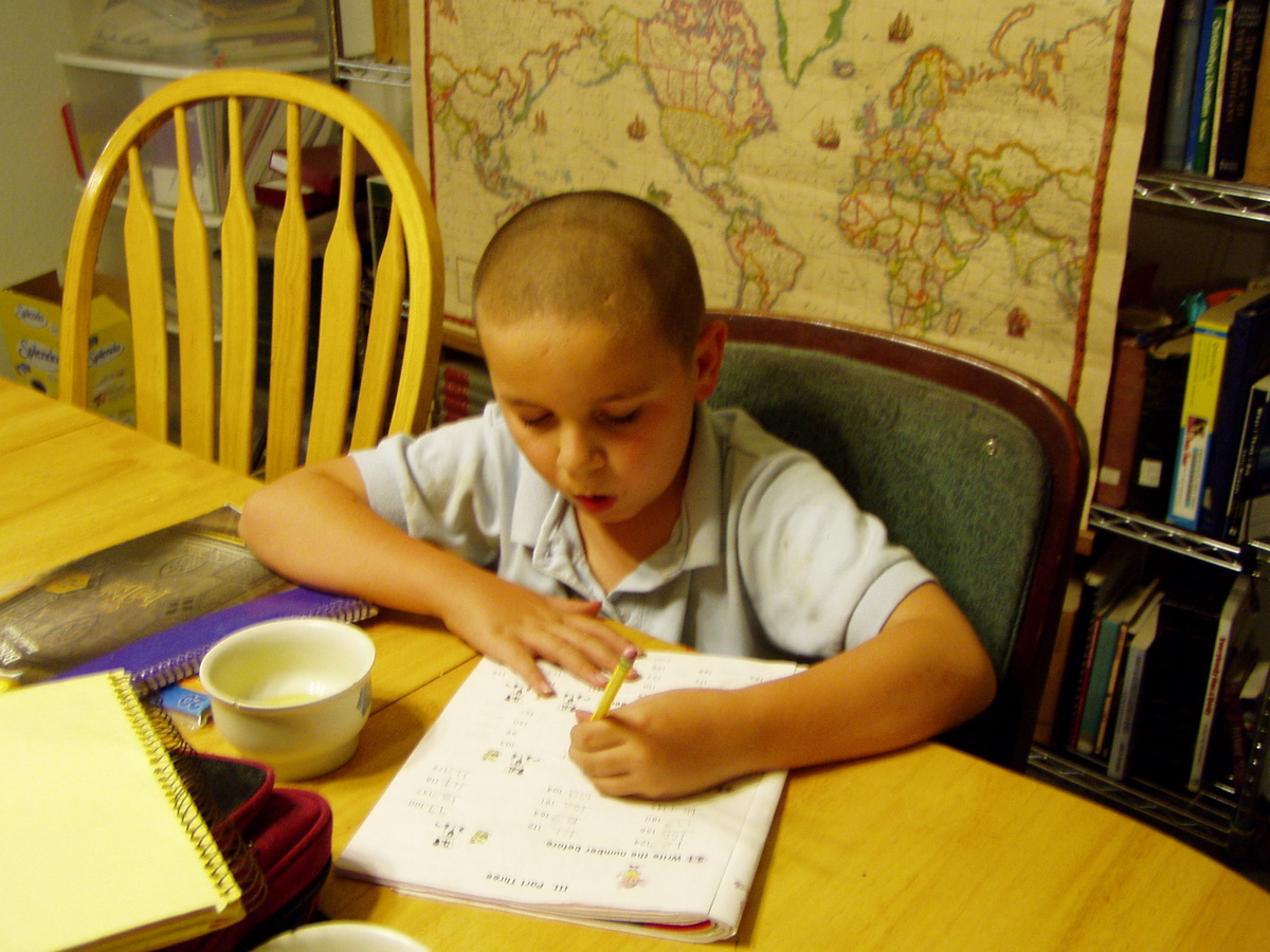
"Jacob working on math."
|
|
"Geneva reviewing a unit on the state of California."
|

|
|

|
|
|
|
|
|
|
|
|
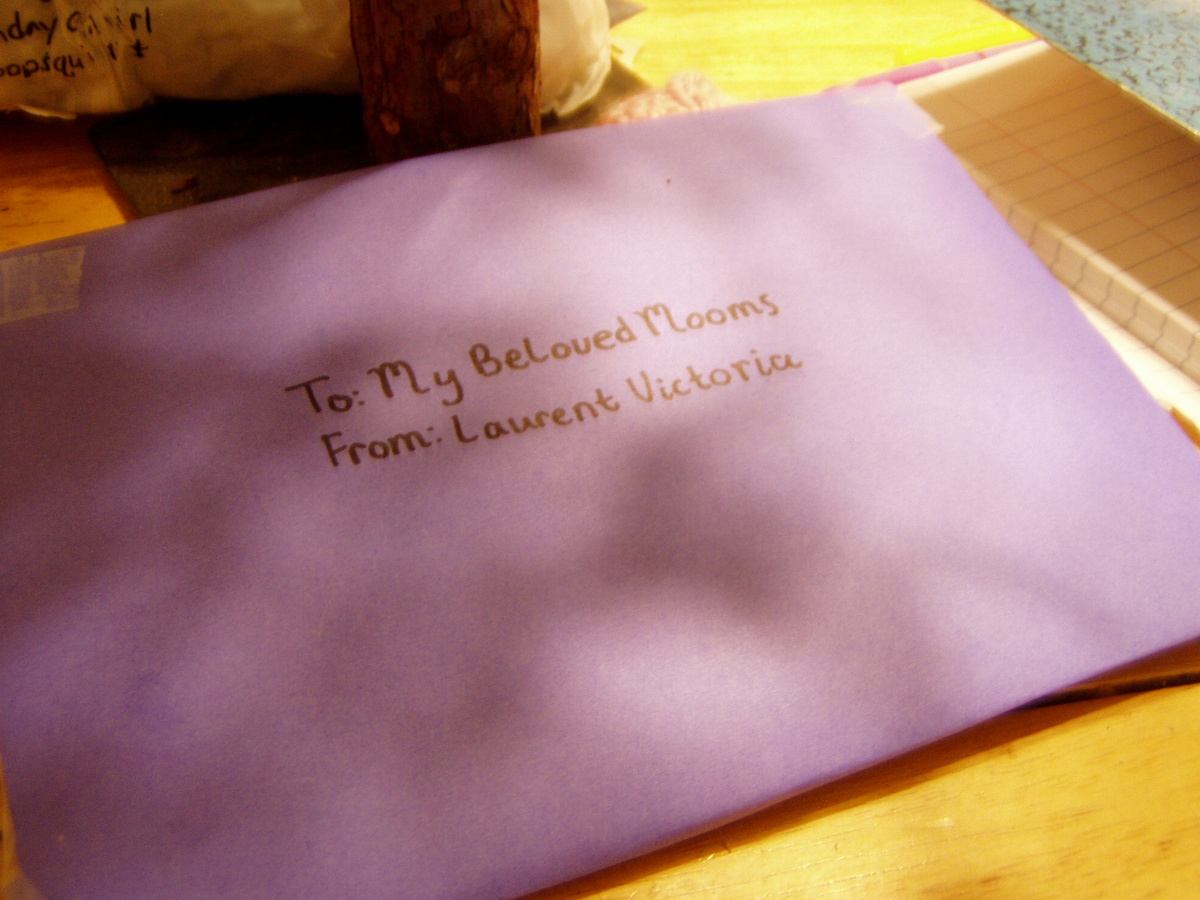
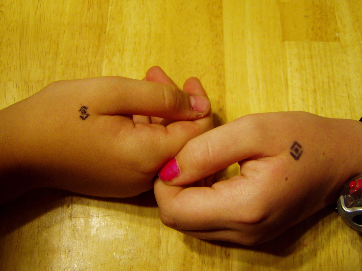
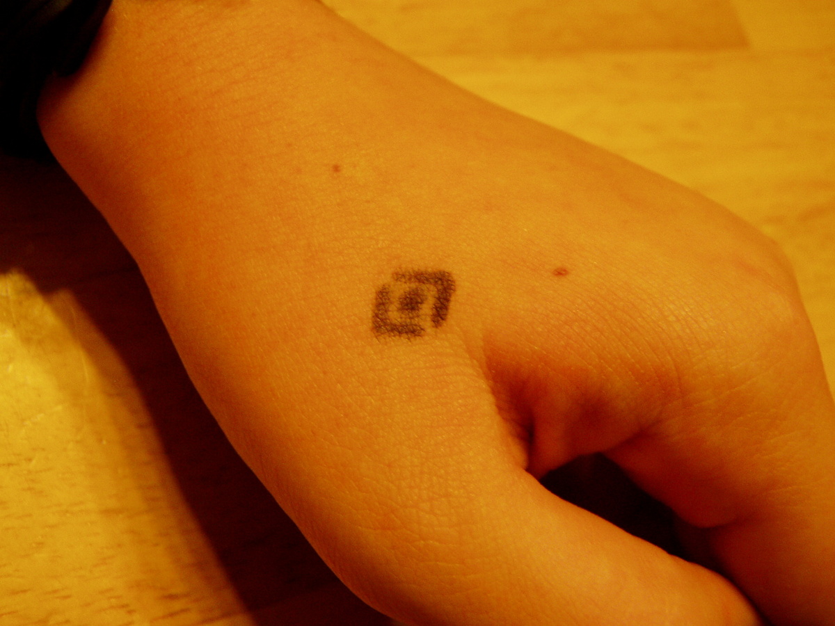
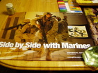
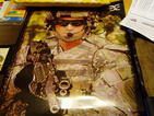
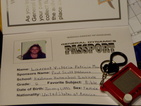
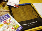
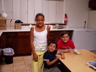
"Laurent
spent a day with her dad at General Dynamics. While there she was
given a tote filled with various take-home souvenires."
|
|
|
|
|
|
|
|
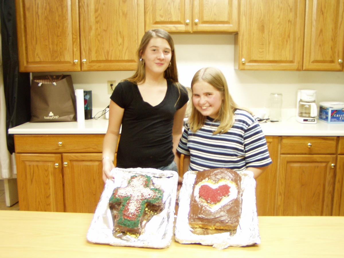
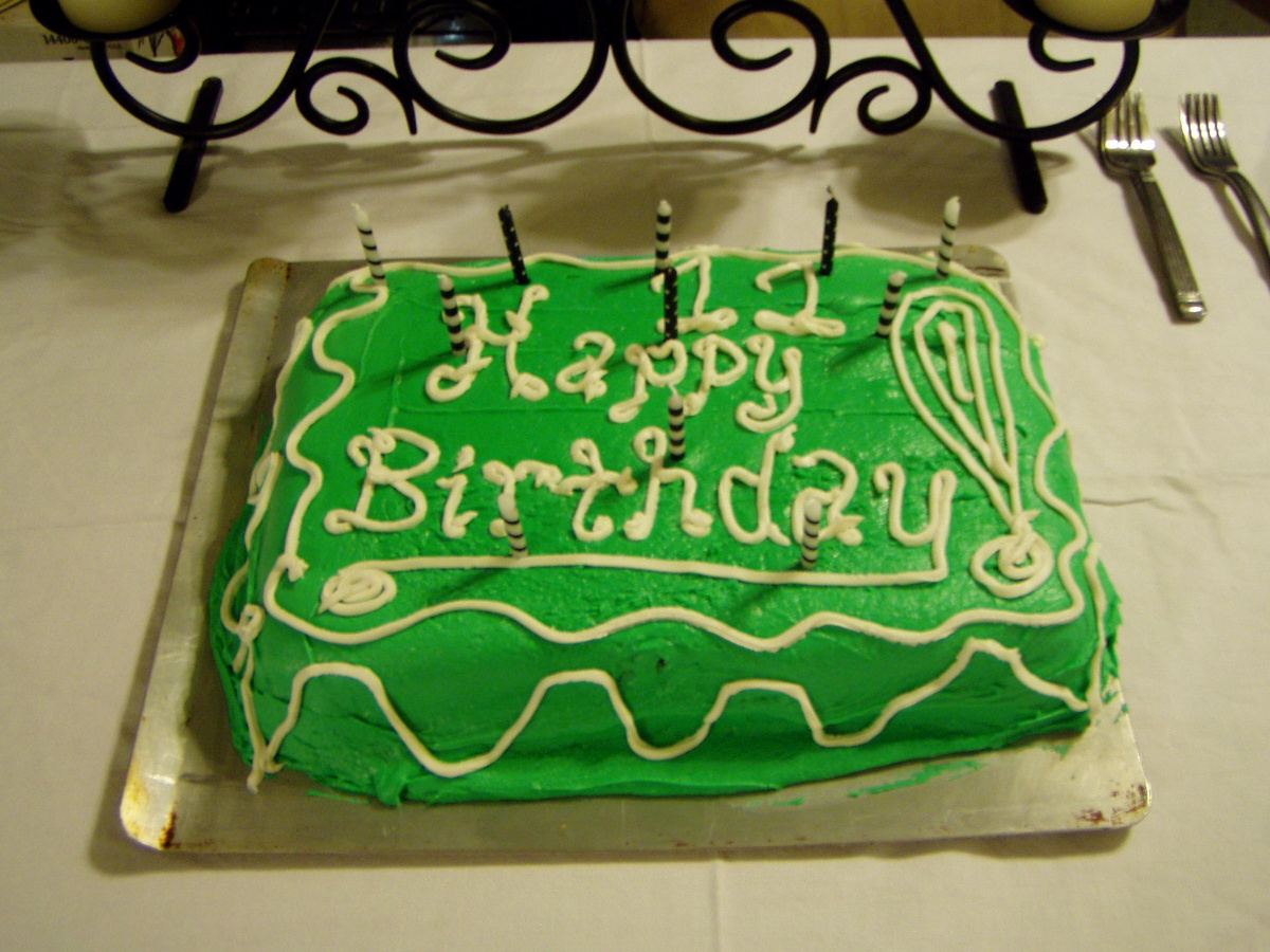
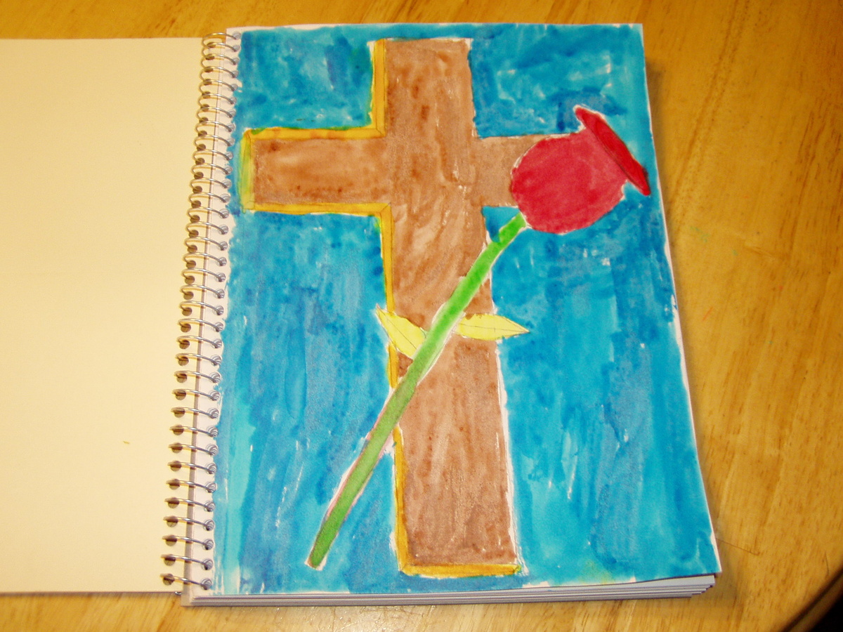
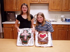
[Paul again]
: These cakes meant a lot to me. They were made by Samantha ("Sam") and
her family. Sam's family are not really Church people, but they made
these cakes for us anyway (and in the shape of a cross and a heart, no
less). They were tasty cakes too!
|

|
|
|
|

|
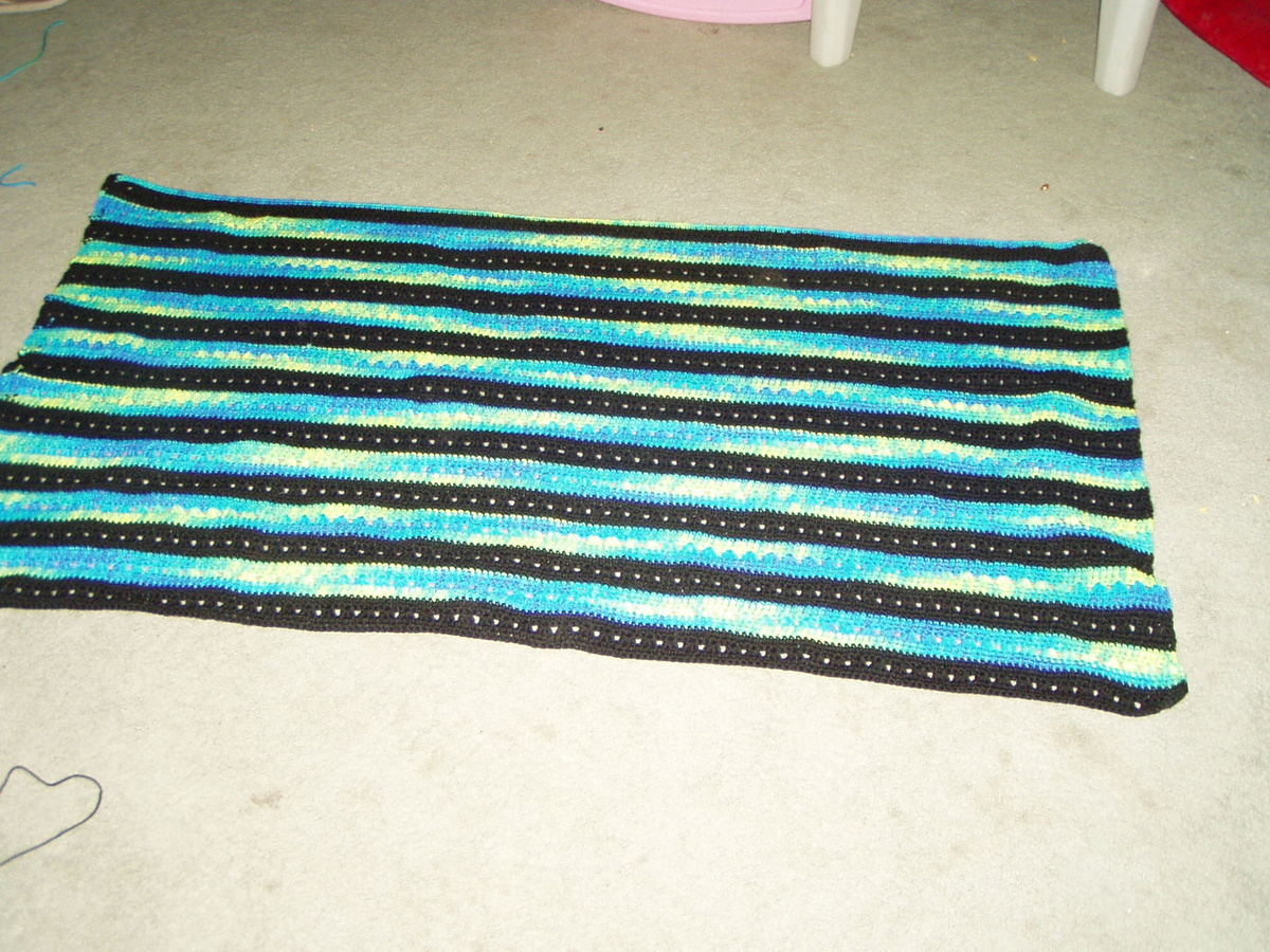
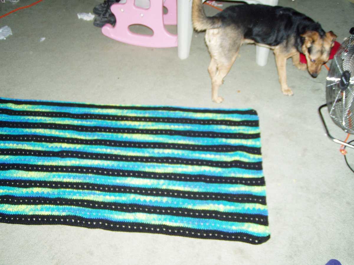
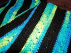
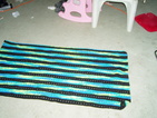
"These photos were taken a few days after the previous shots, to show the progress I had made on Jacob's blanket."
|

|
|
|
|